 |
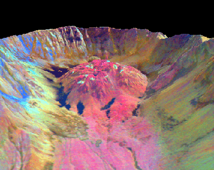
| Thermal Map of the Mt. St. Helens Lava Dome -- This false-colored image simulates a view of the Mt. St. Helens lava dome from the north, as it appeared on September 1, 1988. The image data was acquired with a Thermal Infrared Multispectral Scanner (TIMS), which measures thermal radiance. Courtesy of JPL. |